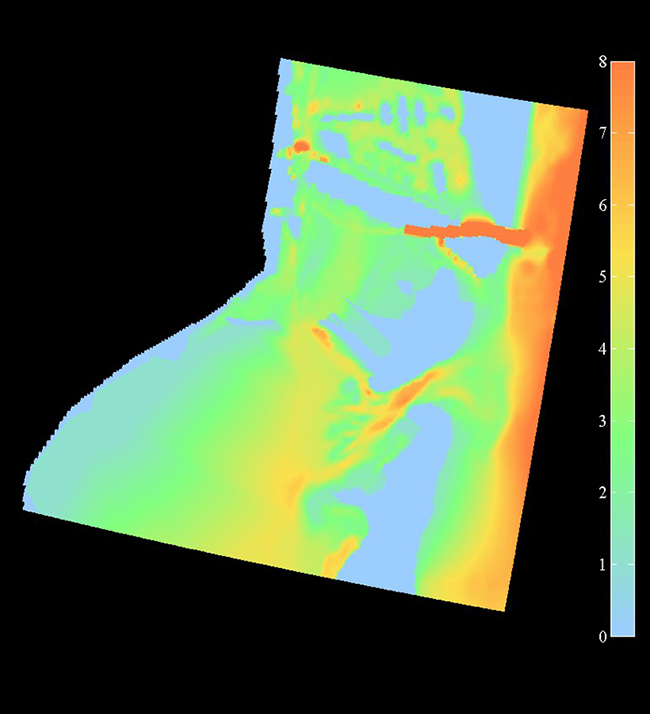
image: A model domain of the upper Biscayne Bay – RSMAS is marked by the orange and green circle. Government Cut is just to the north, evidenced by the deep dredged channel. Color denotes depth in meters.
Model Development
About This Project
Theory and observations are fundamental pillars of scientific research. However, there are processes for which there is no analytical solution, or that are impossible to observe at sufficient scale, accuracy, or frequency. This is where numerical modeling comes in as an invaluable tool to fill-in the gaps and help paint the complete picture. The SUSTAIN laboratory is actively engaged in a variety of numerical modeling efforts, from developing simple parametric models, to fully coupled atmosphere-wave-ocean models.


