image: Infrared view of heated water surface
Remote Sensing
About This Project
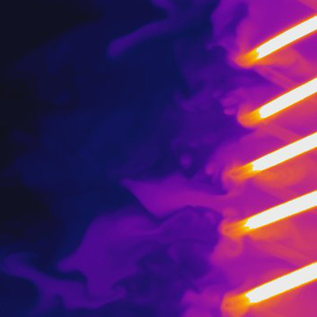
A wide array of remote sensing techniques are used in the SUSTAIN laboratory, including polarimetric camera imaging for high-resolution mapping of water surface elevation and slope, visible side-camera imaging for quantifying the wave evolution as it propagates through the tank, infrared camera imaging for high-resolution mapping of water surface temperature, and shadowgraphy for quantifying air bubble entrainment by breaking waves.

